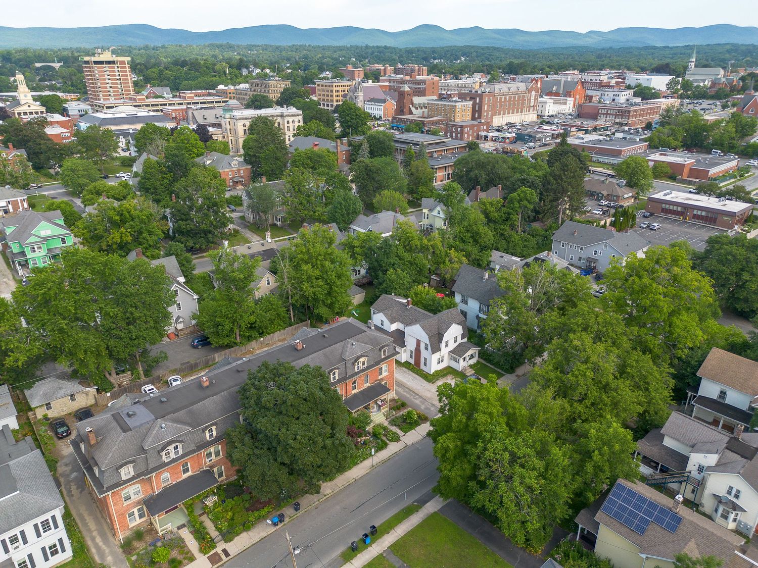
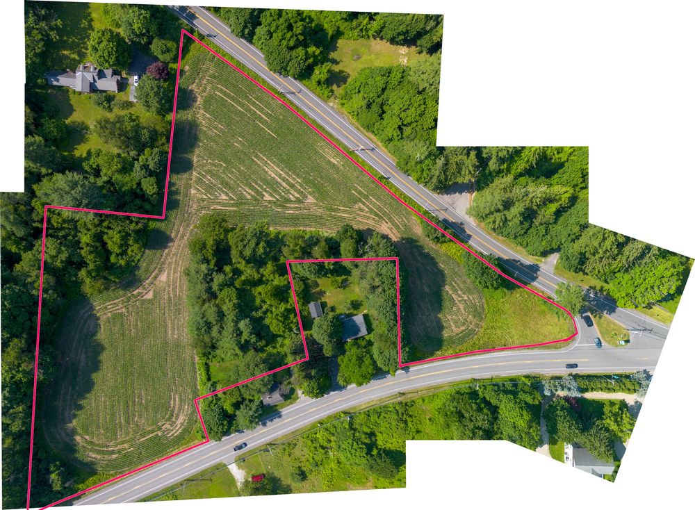
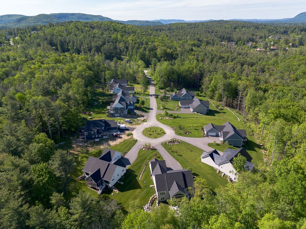
In the Berkshires, the surroundings are often as important as the house. Aerial photography can show acreage, privacy, waterfront, mountain views, outbuildings, access, and the relationship between the home and its landscape. Drone coverage can be added to a standard real estate photography session, or booked separately. All flights are subject to weather, airspace restrictions, site conditions, and safe operating requirements.
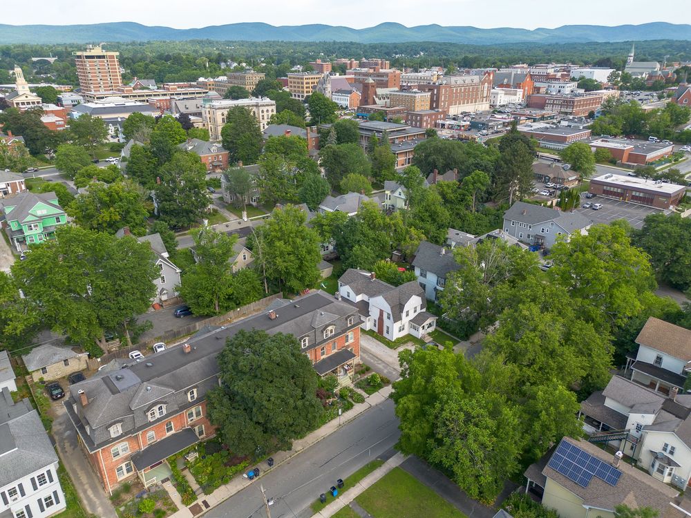
Aerial view of a charming small-town neighborhood with tree-lined streets and historic buildings and mountains beyond.
Aerial map view of a triangular parcel of land outlined in red along a rural highway intersection.
Aerial view of an upscale residential cul-de-sac neighborhood with elegant homes surrounded by green forest.
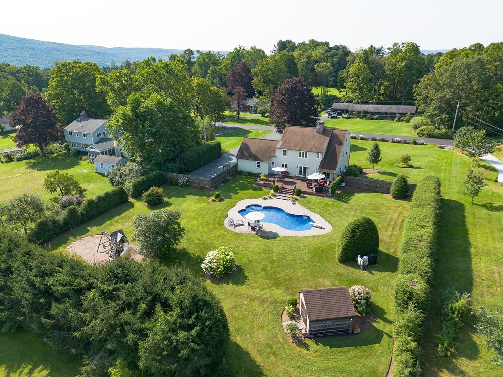
Aerial view of a suburban home with a large in-ground pool and beautifully landscaped yard in a green neighborhood.
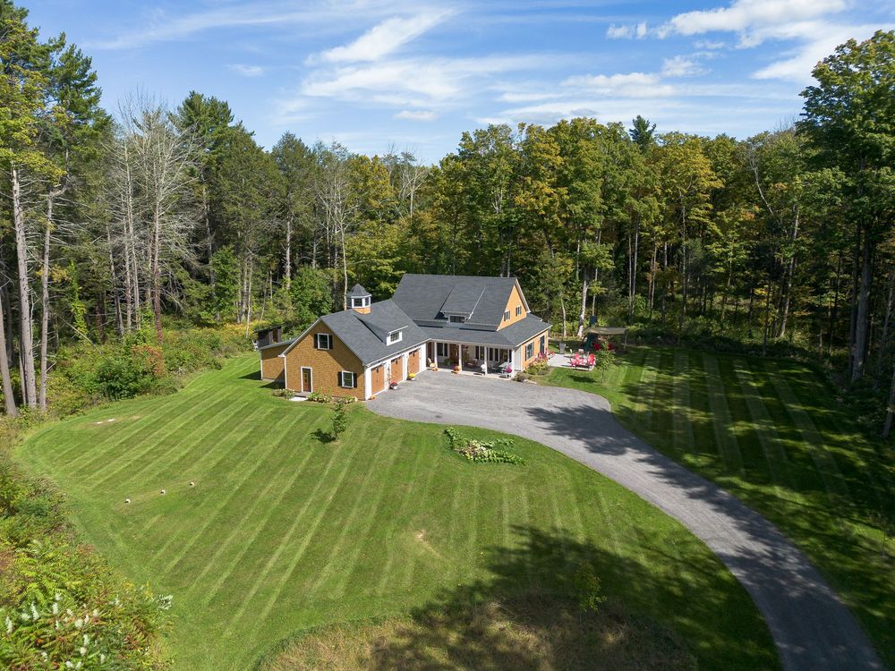
Aerial view of a charming country home surrounded by lush green lawn and dense forest trees.
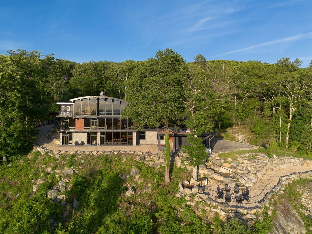
Aerial view of a modern cliffside home with large windows nestled among rocky terrain and trees.
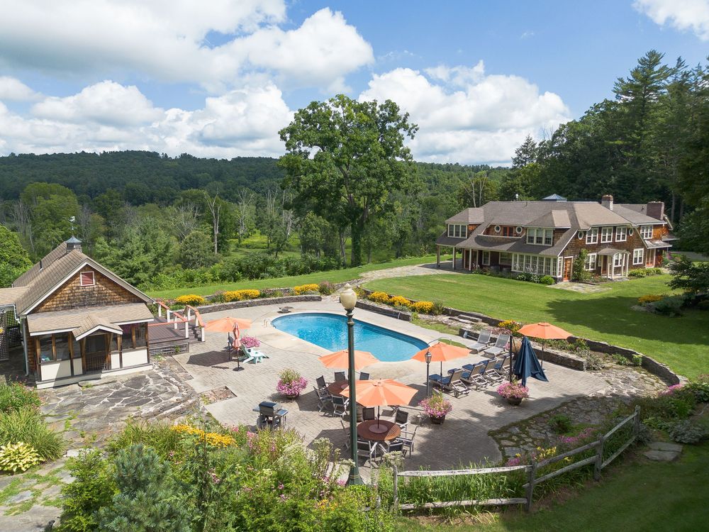
Aerial view of an elegant estate with an outdoor swimming pool, patio, and manicured gardens.
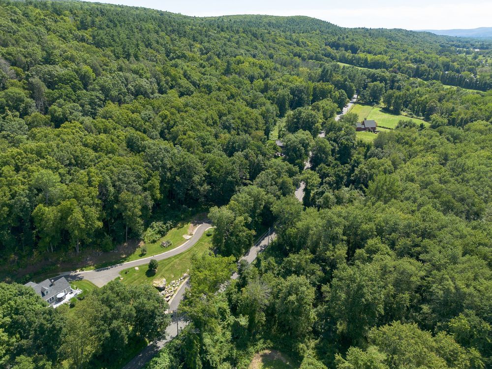
Aerial drone view of a densely wooded landscape with a winding road and clearing visible below.
Aerial top-down view of a commercial building with solar panels on roof and parking lot.
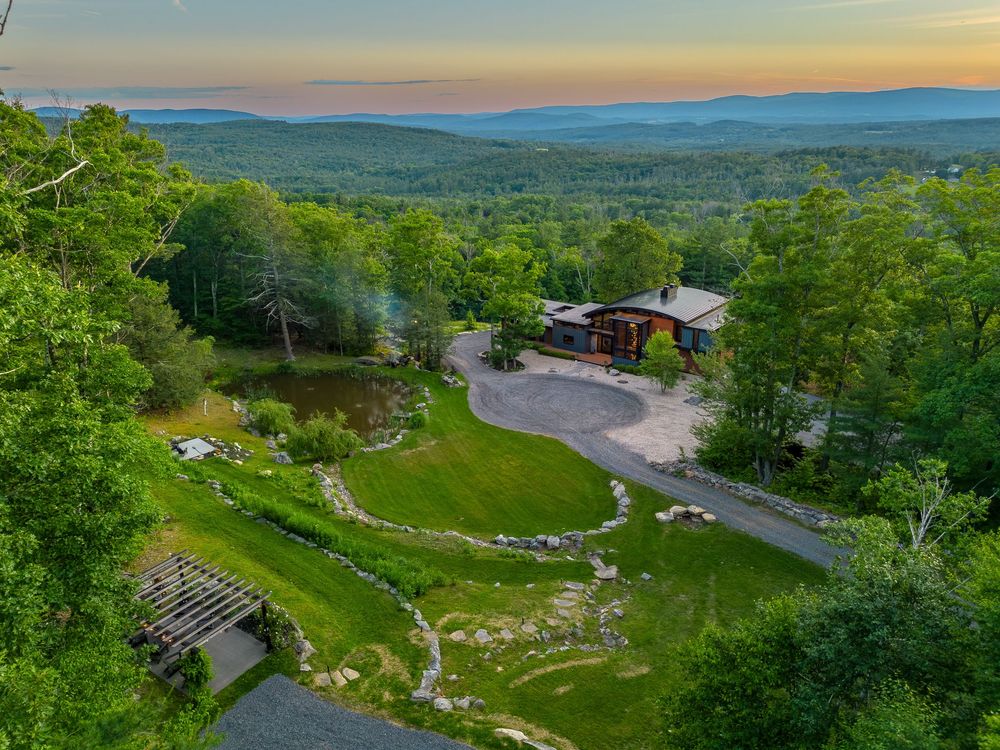
Aerial sunset view of a mountain property with sweeping valley views and landscaped grounds.
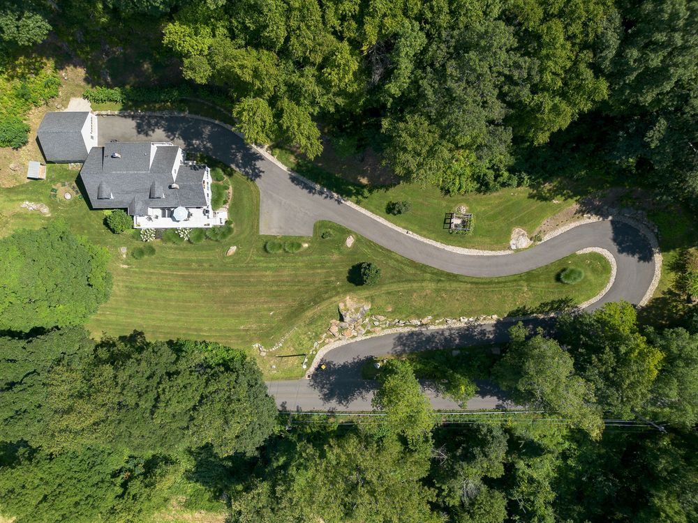
Aerial view of a white country estate with a winding driveway surrounded by lush green trees.
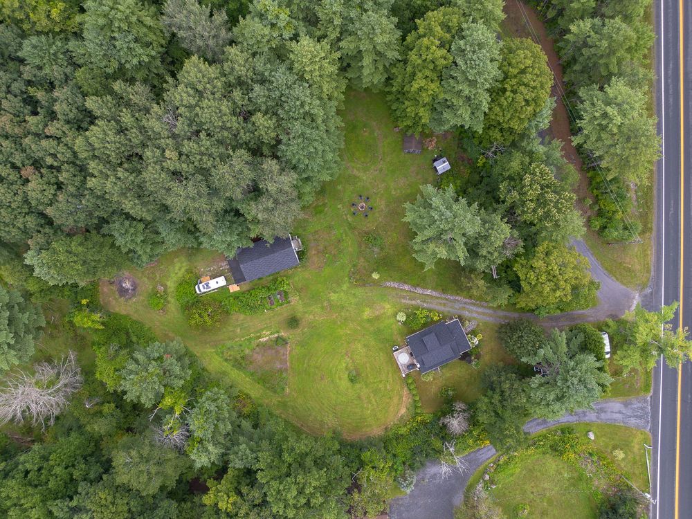
Aerial top-down view of small rural cabins nestled within a dense evergreen forest roadside.
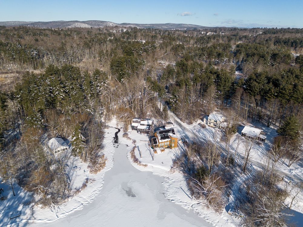
Aerial winter view of a rural property with frozen pond and snow-covered trees and landscape.
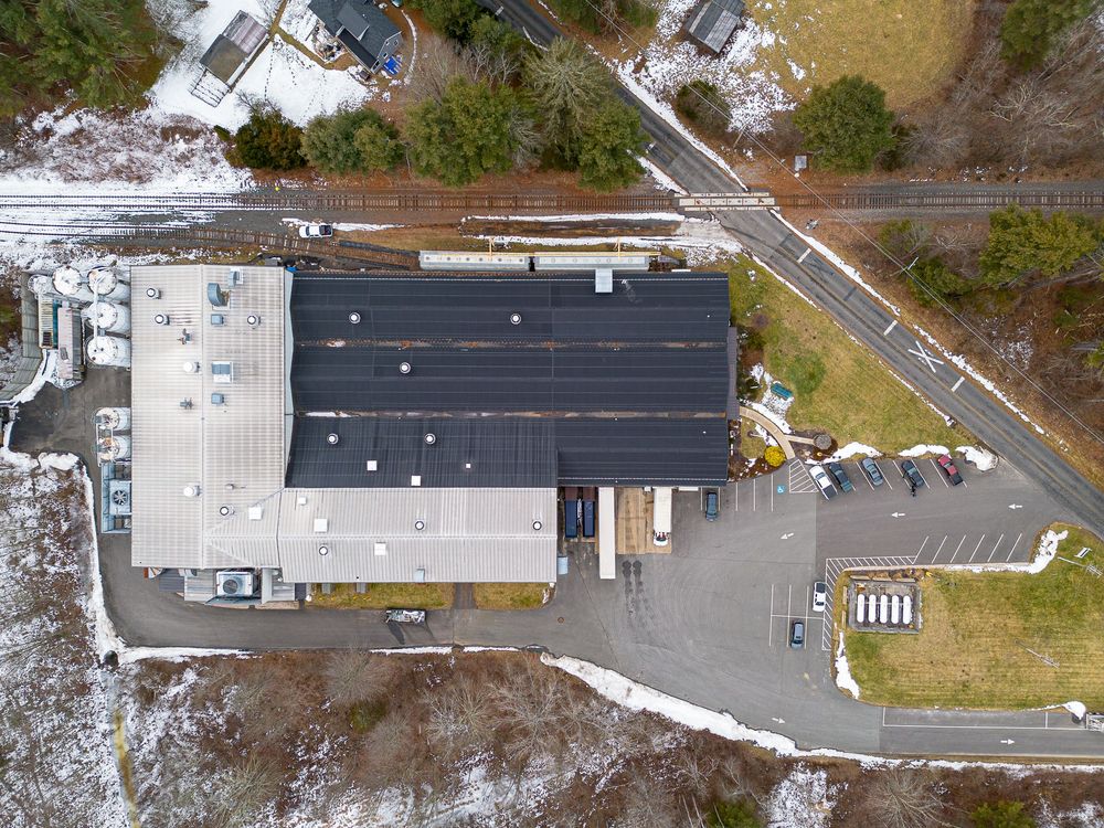
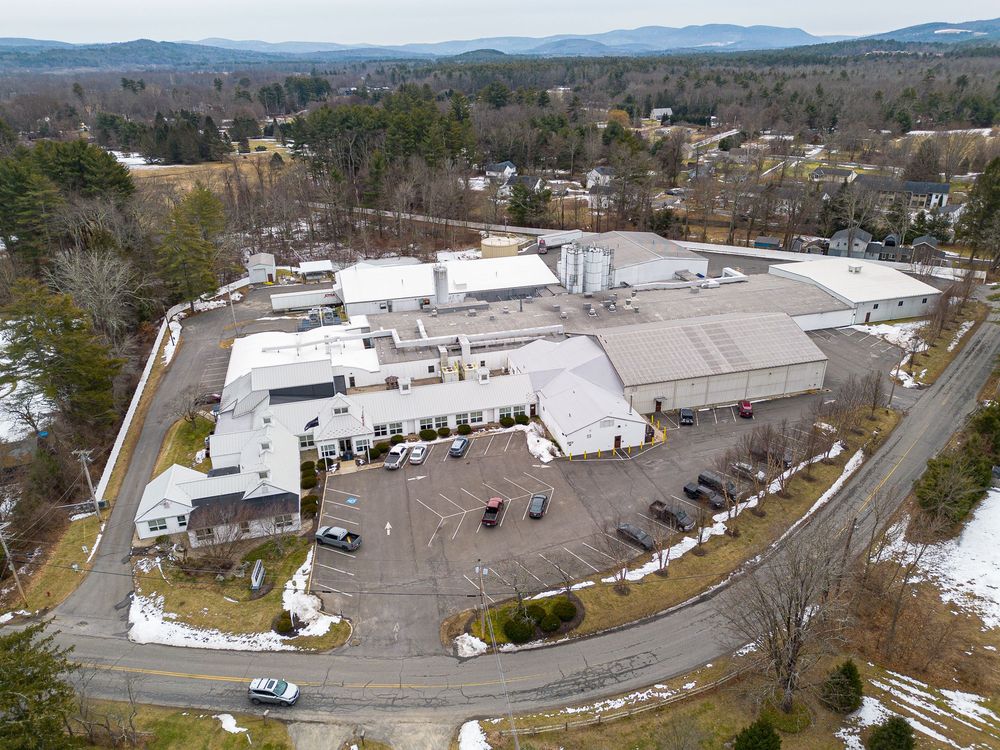
Aerial view of a large commercial facility with parking lot surrounded by a small New England town.
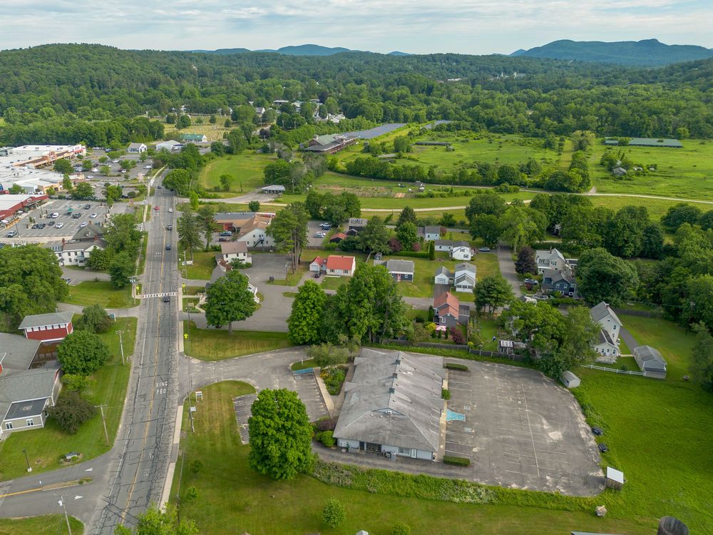
Aerial view of a small town commercial strip with roads, parking lots, green fields, and mountain backdrop.

420 Park Street, Housatonic, MA 01236

Text: 413-274-6817

Available by appointment.